Most people don’t realize how much of a trip gets decided in the first ten minutes after landing — which exit to take, which line to catch, which direction is even “downtown.” A good Seoul subway map, an English Seoul metro map, a Seoul tourist map, a practical Seoul travel map, and a few hiking resources solve that problem before it starts.
Lining these up in advance turns transportation from a guessing game into a plan: you group nearby attractions into the same day, spot neighborhoods worth basing yourself in, and settle which places to visit in Seoul actually fit your schedule instead of just your wish list.
1. Seoul Subway Map in English for Tourists

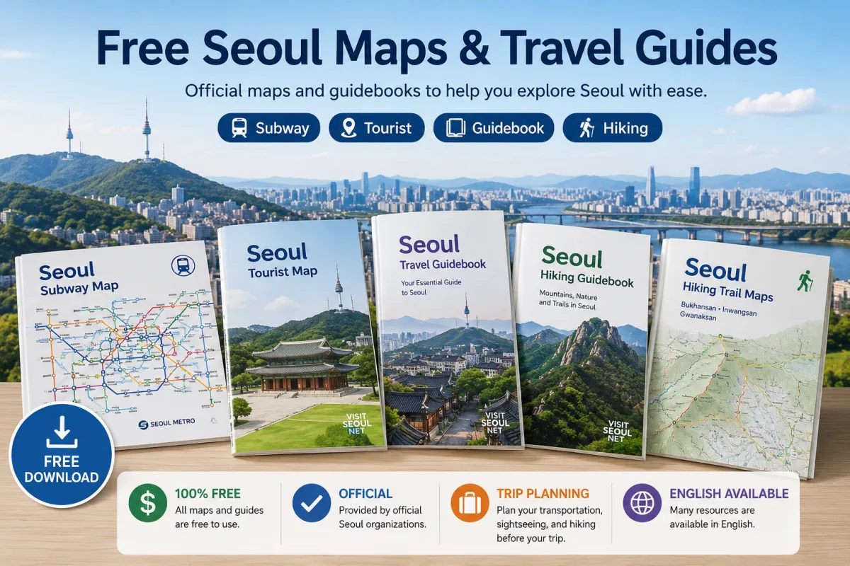
Free Seoul Subway Map for First-Time Visitors
Seoul’s subway looks intimidating on a screen — a dozen colored lines crossing each other, station names in two alphabets — but it stops being intimidating the moment you see it printed out and trace your own route on it. A Seoul subway map in English is the single resource that turns that tangle into something you can actually read.
Travelers staying around Myeongdong, Jongno, Hongdae, Gangnam or other popular areas use a Seoul metro map for tourists to see exactly how their accommodation connects to palaces, shopping districts, markets and major attractions — often just two or three stops away.
Pick out the station nearest your hotel and the two or three lines you’ll ride most. Once those names and colors are familiar, the rest of the network stops feeling like a maze and starts feeling like a grid.
2. Free Seoul Tourist Map for Attractions and Neighborhoods
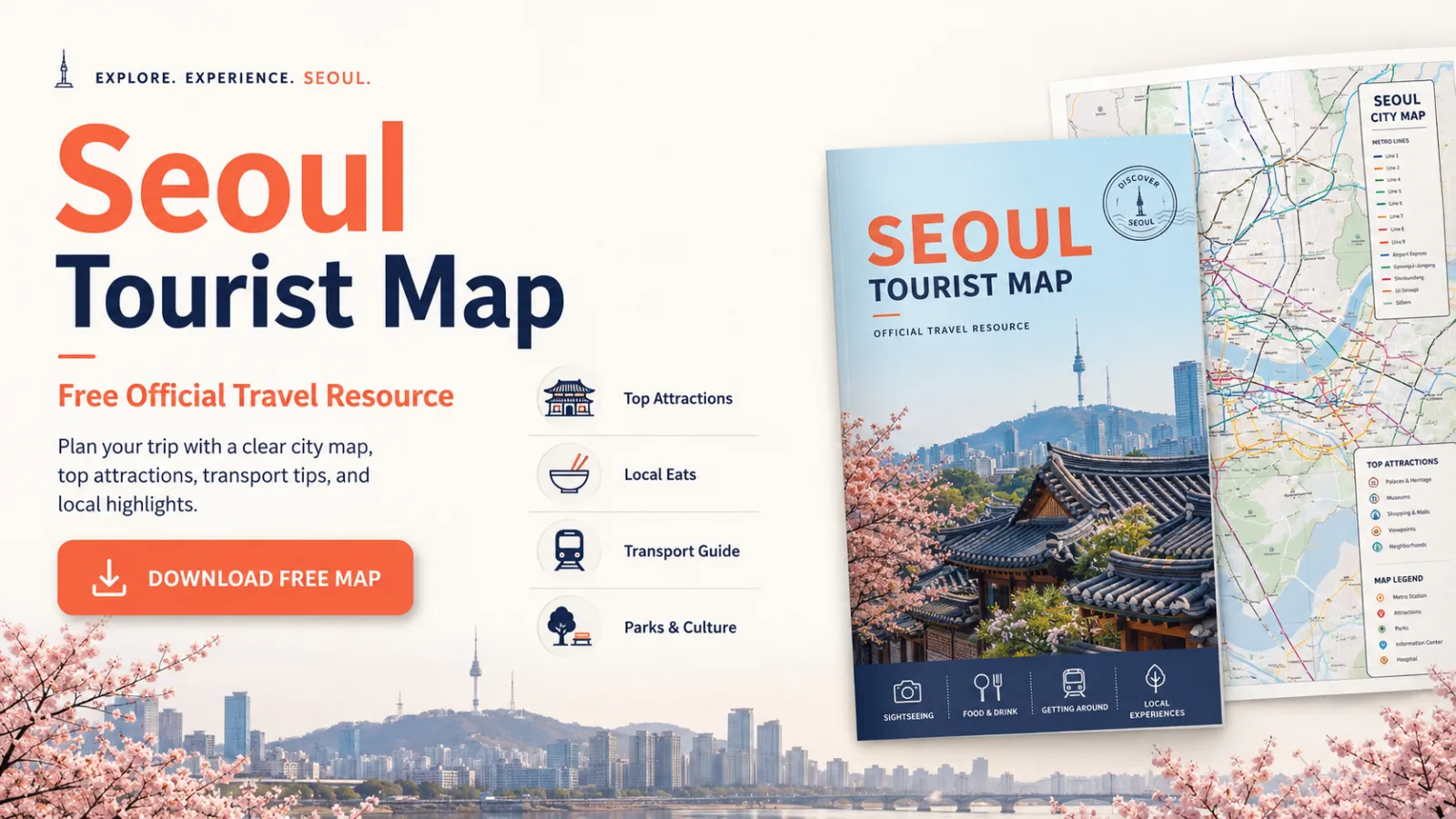
Plan Seoul Attractions by Location
Once the subway makes sense, a different question shows up: not “how do I get there,” but “what’s actually near what.” A Seoul tourist map with major attractions answers that by laying out where Seoul’s sightseeing areas and neighborhoods sit in relation to one another, not just how the trains connect them.
This matters when narrowing down places to visit in Seoul. Gyeongbokgung Palace, Bukchon and Gwanghwamun sit within easy walking distance of each other, and Myeongdong pairs naturally with Namsan on the same afternoon.
Working from a Seoul travel map for first-time visitors before building a daily schedule cuts down on the back-and-forth crossing the city that eats up a surprising number of vacation hours. Pick an area first, then let the attractions, restaurants and shopping streets nearby fill in the rest of the day.
3. Free Seoul Travel Guidebook for Trip Planning

A map answers where. A guidebook answers why you’d bother going. Visit Seoul’s official guidebooks fill that gap with free resources built for a first trip to the city.
The free Seoul travel guidebook in English covers neighborhoods, culture, food, shopping and sightseeing angles a map alone won’t show you. Pair it with the tourist map for the best result: shortlist what interests you in the guidebook, then check the map to see which picks actually sit close enough together to visit the same day.
Anyone researching things to do in Seoul for a first trip quickly hits the opposite problem of running out of options — there’s simply too much to fit into a few days. The fix isn’t seeing everything; it’s picking a handful of areas and letting each day orbit whatever’s genuinely close by.
4. Free Seoul Hiking Tourism Guide Book
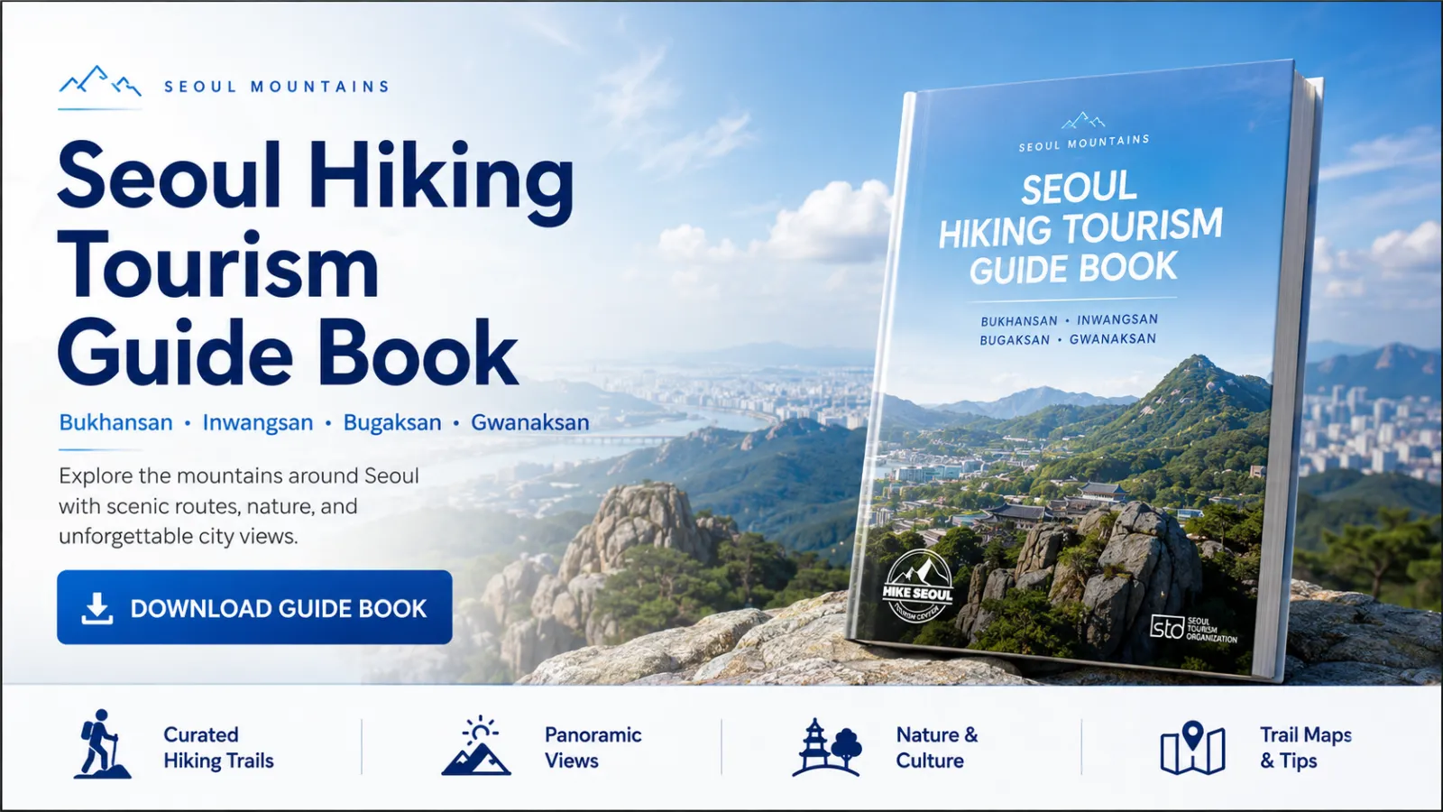
Why Add Hiking to a Seoul Trip?
Seoul is a dense, modern capital, and yet a granite ridge with a full skyline view can be less than an hour from your hotel lobby. That’s what makes hiking easy to fold into a city trip, even for visitors based entirely in central Seoul.
A morning spent in palaces and markets and an afternoon spent on a mountain trail aren’t mutually exclusive here. Seoul’s public transportation makes it surprisingly easy to combine city sightseeing and hiking without taking a long trip outside the capital. For travelers who want more than storefronts and photo spots, hiking is where Seoul travel shows a completely different face.
The mountains also change character by season: fresh green in spring, dense shade in summer, color running down the ridgelines in autumn, and quiet, snow-dusted rock faces in winter.
The Seoul hiking guide for tourists profiles the well-known routes — Bukhansan, Inwangsan, Bugaksan and Gwanaksan — so you can compare them before committing to one.
5. Free Seoul Hiking Trail Maps
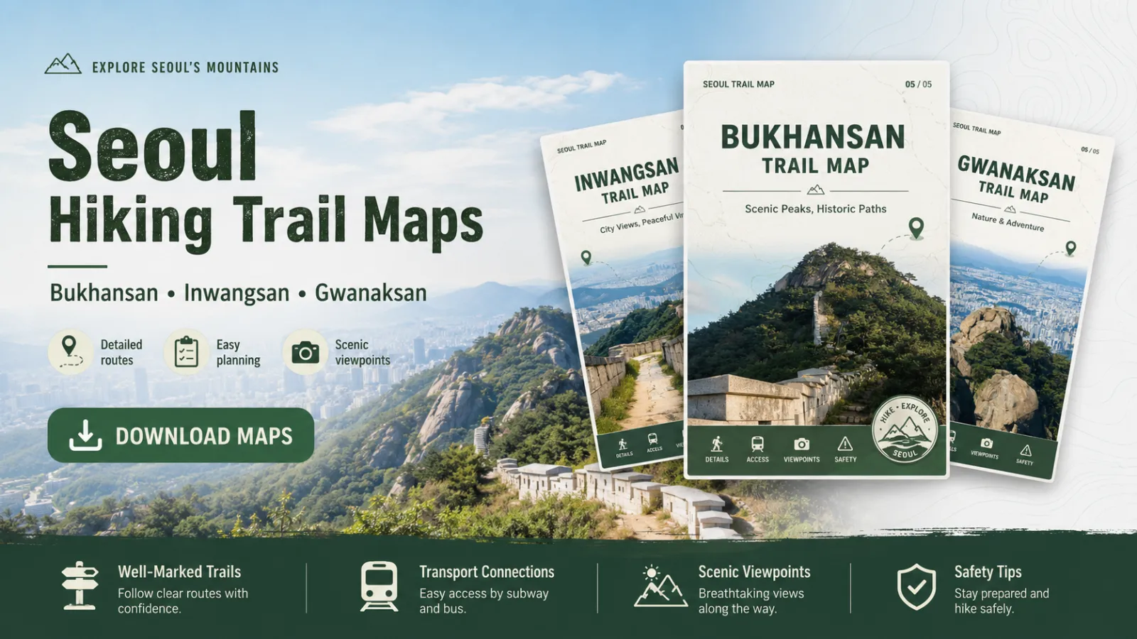
Bukhansan, Inwangsan and Gwanaksan Trail Maps
Once a mountain is chosen, pull up its Seoul hiking trail map while you’re still at the hotel, not at the trailhead. Knowing the route, access points and general shape of the mountain in advance saves you from making that decision on the spot, tired and out of signal.
Bukhansan National Park
Bukhansan is one of Seoul’s best-known hiking destinations and is part of Bukhansan National Park. Its location close to the city makes it unusually accessible for a national park, with hiking areas reachable by public transportation from central Seoul. Rocky peaks, forested valleys and sweeping views over the metropolitan area make it a strong choice for travelers who want a real mountain experience without a long trip outside the capital.
Inwangsan
Shorter and steeper than Bukhansan, Inwangsan rewards a small time investment with an outsized view straight over central Seoul — the kind of hike that fits into a half-day alongside sightseeing rather than replacing it.
Gwanaksan
South of the river, Gwanaksan trades gentle trails for rockier terrain and wide views over the city’s southern half. Check conditions and your preferred route before heading out, since exposed rock sections can be slippery after rain.
Which Free Seoul Map Should You Use?
- For subway routes and transfers: Seoul Subway Map
- For understanding the metro network: Seoul Metro Map
- For attractions and neighborhoods: Seoul Tourist Map
- For broader trip planning: Seoul Travel Guidebook
- For mountain trips: Seoul Hiking Guide and Trail Maps
You won’t need all five for a single trip. First-time visitors get the most mileage out of the subway map and tourist map alone; add the guidebook or a hiking map only once your plans call for it.
Sort these out before you fly, and the first day in Seoul stops being a scramble for basic information — it just starts being the trip you actually came for.
Frequently Asked Questions
Do I need to download the Seoul subway map, or is checking it online enough?
Saving the map or taking a screenshot can be useful when you want quick access without reopening the official website each time. Keeping the English map on your phone also makes it easier to check lines and transfer stations while you are on the move.
Are Visit Seoul’s tourist maps updated for current closures and construction?
Visit Seoul refreshes its official maps and guidebooks periodically, but individual attractions can still close temporarily for renovation or events. Cross-check any must-see spot on the venue’s own page shortly before your visit.
Is the free Seoul travel guidebook available as a physical copy, or only as a PDF?
Visit Seoul’s Guidebooks & Maps page offers digital travel resources, and physical guidebooks are also available at tourist information points, including locations at Incheon Airport. Print availability can vary, so the digital version remains the easiest option to prepare before departure.
Do I need hiking experience for Bukhansan, Inwangsan or Gwanaksan?
Not necessarily — trail difficulty varies widely across all three mountains, and each has entry points suited to casual walkers as well as more demanding rocky routes for experienced hikers. Check the specific trail map for grade and estimated time rather than judging the mountain as a whole.
Which Seoul map should I use for trip planning?
Start with the subway map for routes and transfers, then layer in the tourist map for attractions and neighborhoods. The travel guidebook and hiking maps are worth adding only once your itinerary has a shape — they’re refinements, not starting points.
You May Also Like
 Seoul Subway Map & Transfer Guide: 7 Rules for Seoul Travel
 Naver Maps English: 7 Tips to Navigate Korea Like a Local
 USD to KRW Currency Converter: Korean Won Exchange Rate
 T-Money Card vs WOWPASS: Which Is Better for Seoul Travel?
 Things to Do in Seoul: 15 Proven Picks Every First-Timer Needs
 Everything You Need to Know About Han River Seoul: Parks, Ramen & Night Views
 7 Korean Skin Treatments in Seoul: Tourist Guide
 Olive Young Korea: 10 Best Korean Skincare Must-Haves
 Apartment in Seoul: 5 Best Options for Foreigners
 Korea Convenience Store Guide: CU, GS25 & Tourist Tips